



Bell Rock
3961 AZ-179, Sedona, AZ
Sedona, AZ
A perfectly bell-shaped tower of red rock rising beside the highway, easy to admire and, on its lower slopes, easy to climb.
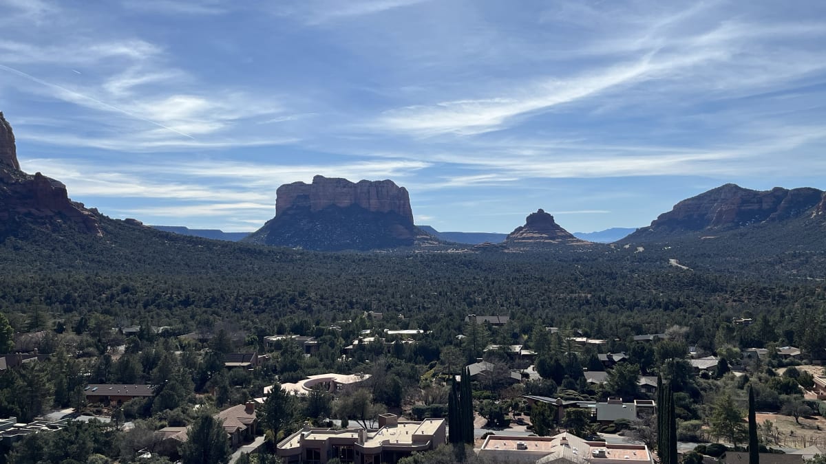
Bell Rock is exactly what its name promises, a great dome of red sandstone shaped remarkably like a bell, rising beside the highway at the southern gateway to Sedona. It is one of the most photographed formations in a region full of them, partly because of its striking symmetry and partly because it is so easy to reach. You can pull off the road, walk a short trail, and stand at its base within minutes.
That accessibility has made Bell Rock a favorite for all kinds of visitors. Casual travelers admire it from the trail, hikers scramble up its lower ledges for the views, and seekers come for its reputation as one of Sedona's vortex sites, places said to concentrate a special energy. Whatever draws you, the rock rewards a stop, glowing deep red at sunrise and sunset against the blue Arizona sky.
What Travelers Love
- A striking, almost perfectly bell-shaped red butte you can walk right up to
- Easy lower trails that let almost anyone reach the rock's base and slopes
- Its fame as one of Sedona's energy vortex sites
- Wide views of Courthouse Butte and the surrounding red rock country
Worth Knowing
- The lower slopes are an easy walk, but climbing higher becomes steep scrambling that is not for everyone
- There is little shade, so bring water and sun protection, especially in the warm months
- The main trailhead lot fills early on busy days, so arrive in the morning if you can
- Stay on established routes to protect the fragile desert soil and vegetation
Learn about Bell Rock
The shape of the rock
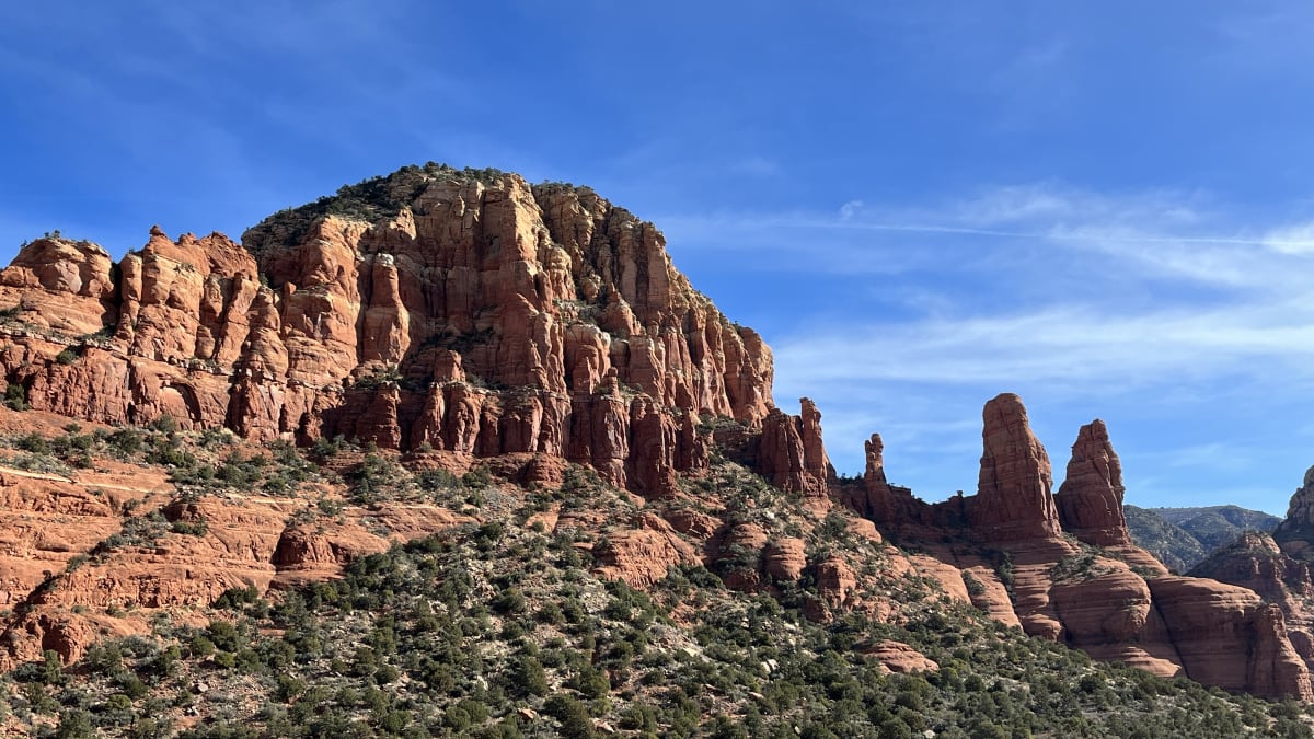
Bell Rock's distinctive form is a product of geology. Like the other great buttes around Sedona, it is carved from layers of sedimentary rock laid down over many millions of years, the deep red of the lower layers colored by iron oxides. Softer layers erode faster than harder ones, and the differential wearing away of those layers, along with the resistant cap on top, has left the formation its rounded, tapering bell shape.
The red rock that makes Sedona famous belongs to a formation of ancient sandstone that once formed coastal dunes and floodplains. Bell Rock is one expression of it, sculpted by wind, water, and time into a form so regular it looks almost designed. Its lower slopes are gentle enough to walk, while the upper reaches steepen into ledges and spires.
A Sedona vortex
Bell Rock is one of the sites most often named among Sedona's energy vortexes, places where many people believe the earth's energy is especially concentrated. The idea took hold in the later twentieth century and has made Sedona a destination for those drawn to spiritual and metaphysical experiences, who come to meditate, reflect, and feel what they describe as the vortex energy.
Whether or not one accepts the vortex idea, there is no denying that Bell Rock has a powerful presence. Standing at its base, with the red walls rising overhead and the wide desert sky above, many visitors feel a genuine sense of calm and awe. That combination of striking scenery and easy access is a large part of why the site has become so beloved.
Walking and climbing the rock
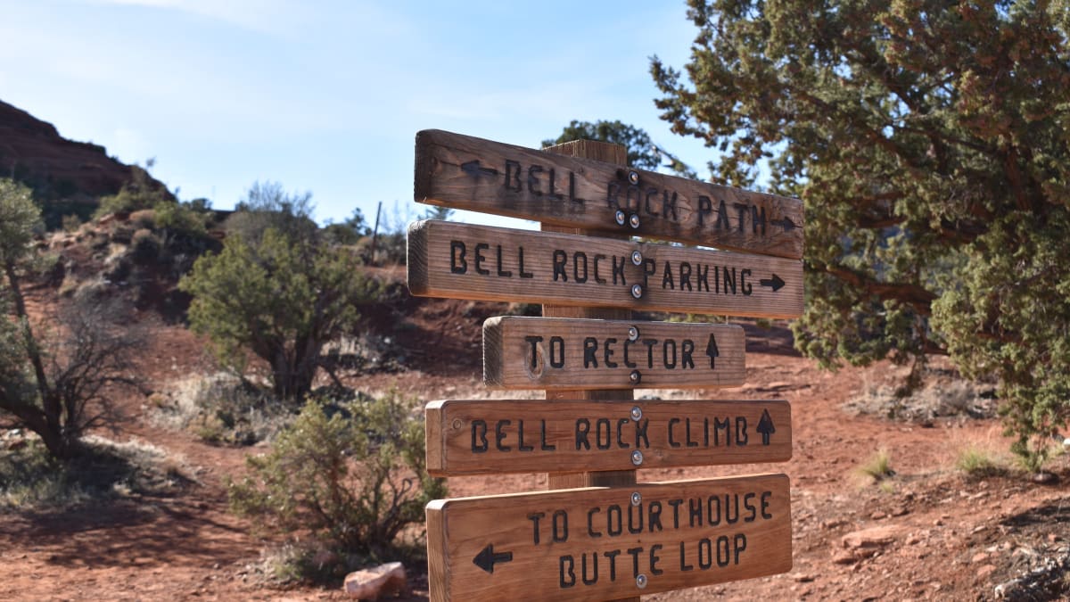
One of Bell Rock's charms is how much of it is open to ordinary walkers. A well-marked trail leads from the highway trailhead to the base of the rock and around its lower slopes, an easy stroll suitable for almost anyone. From there, more adventurous hikers can scramble up the sloping red rock, gaining height and views with each ledge.
The higher you go, the steeper and more exposed it becomes, and reaching the very top is a serious scramble best left to the sure-footed. But you do not need to summit to enjoy the rock. Even the lower slopes offer sweeping views of Courthouse Butte next door and the red rock country stretching north toward Sedona proper.
Red rock country
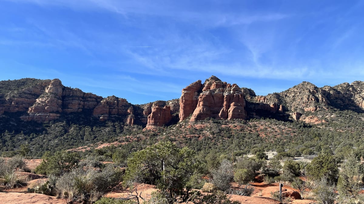
Bell Rock sits at the heart of Sedona's famous red rock landscape, a country of buttes, spires, and canyon walls glowing in shades of red and orange. Just beside it rises Courthouse Butte, a massive block of the same red stone, and the two are often admired and hiked together on a loop that circles both.
The wider region is a mix of high desert and pinyon-juniper woodland, with Oak Creek winding through green cottonwood galleries not far away. The whole area was long home to the Sinagua and other ancestral peoples, and today it draws travelers, artists, and seekers from around the world. Bell Rock, easy to reach and impossible to miss, is many people's first taste of it.
Closest Boutels
The closest Boutel™ stays, so you can turn this stop into an overnight. Each is a place we chose through independent editorial review, never a paid placement.
The Iron Horse Inn
Boutel1034 N Main St, Cottonwood, AZ 86326, Cottonwood, AZ
15 miles away|Learn More ›
Details
Sedona, AZ
Frequently asked questions
What is Bell Rock?
Bell Rock is a striking, bell-shaped red-rock butte just south of Sedona, Arizona, and one of the area's most recognizable and accessible landmarks. Rising from the desert near the village of Oak Creek, it is popular for hiking, sightseeing, and photography, and is also considered one of Sedona's famous energy vortex sites. With trails circling its base and routes climbing partway up its slopes, Bell Rock offers stunning red-rock scenery and views that suit casual sightseers and more adventurous scramblers alike.
Can you climb Bell Rock?
You can explore Bell Rock's lower slopes and climb partway up via informal routes, gaining wonderful views, but reaching the very top requires difficult and dangerous technical climbing that most visitors should not attempt. The higher you go, the steeper and more exposed the sandstone becomes, so it is best to enjoy the lower and middle sections and turn back before the terrain becomes risky. Wear good shoes, watch your footing, and avoid climbing on wet or windy days when the rock is slippery.
What are the trails like at Bell Rock?
The area offers a range of options, from the easy, well-marked Bell Rock Pathway that circles the base on relatively gentle terrain, great for families and casual walkers, to steeper scrambles up the rock's flanks for those seeking a challenge and bigger views. This variety makes Bell Rock accessible to nearly everyone. Carry plenty of water, wear sun protection and sturdy shoes, and choose a route that matches your comfort level, keeping in mind the desert heat and the steepness of the upper slopes.
When is the best time to visit Bell Rock?
Spring and fall bring the most pleasant temperatures for hiking and scrambling, while summer is very hot, so early morning or late afternoon is best to avoid the dangerous midday heat. Sunrise and sunset bathe the red rock in beautiful light, ideal for photography. The popular trailheads can fill up, so arriving early helps with parking. Whenever you go, carry ample water, protect yourself from the sun, and avoid the exposed rock in wet or stormy weather.
What is near Bell Rock?
Bell Rock sits near the village of Oak Creek just south of Sedona, close to the equally striking Courthouse Butte, the iconic Cathedral Rock, the Chapel of the Holy Cross, and the many galleries, shops, and vortex sites of Sedona. The scenic red-rock country and Oak Creek Canyon surround the area. That makes Bell Rock an easy and rewarding stop on a Sedona visit, perfect for combining with the town's other famous formations, trails, and stunning desert scenery.
Nearby
Red Rock Scenic Byway
0.0 miles away
Red Rock Scenic Byway follows AZ-179 for about seven miles between the Village of Oak Creek and Sedona, threading past some of the most photographed red rock in the Southwest.
Chapel of the Holy Cross
1.4 miles away
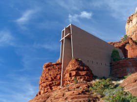
A modernist chapel built straight into the red rock buttes just south of Sedona, with a ninety-foot cross for a spine and a glass wall framing the Verde Valley.

Cathedral Rock
1.6 miles away
Cathedral Rock is the most-photographed rock formation in Arizona. The classic shot is from the Red Rock Crossing area of Oak Creek, with the twin spires reflected in the water.

Red Rock State Park
3.8 miles away
Red Rock State Park is a quieter alternative to Slide Rock, with guided creek hikes, ranger programs, and a riparian cottonwood corridor along Oak Creek.
Slide Rock State Park
8.9 miles away
The main feature at Slide Rock State Park is a natural water slide worn smooth by Oak Creek flowing over sandstone slabs for centuries.
Boynton Canyon
9.1 miles away
Boynton Canyon is one of Sedona's premier day hikes - 6 miles round-trip through a lush canyon that ends in a box with high red walls. The Enchantment Resort sits midway through the canyon.
Oak Creek Canyon
11 miles away
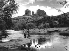
Oak Creek Canyon runs from Sedona north to the Mogollon Rim, dropping 3,400 feet in 16 miles.

Montezuma Well
11 miles away
Montezuma Well is a detached unit of Montezuma Castle NM - a 350-foot-diameter limestone sinkhole fed by a subsurface spring at 1.5 million gallons per day.
Oak Creek Canyon Overlook
11 miles away
The first overlook on US-89A heading south from Flagstaff into Oak Creek Canyon appears after the switchbacks at 6,400 feet and gives a full view into the canyon before the road descends.

Montezuma Castle National Monument
14 miles away
Montezuma Castle is one of the best-preserved cliff dwellings in North America.

Tuzigoot National Monument
15 miles away
Tuzigoot is a hilltop pueblo of 110 rooms occupied by the Sinagua people for nearly 300 years.
Dead Horse Ranch State Park
15 miles away
A cool, green riverside state park on the Verde River just outside Cottonwood, with three fishing lagoons, shady cottonwood trails, and some of the best birding in Arizona.

Fort Verde State Historic Park
18 miles away
Fort Verde preserves several original 1870s adobe buildings from an Apache Wars era army post, arranged around a parade ground you can cross in a few minutes.
Verde Canyon Railroad
18 miles away
Verde Canyon Railroad runs a 4-hour, 40-mile excursion through the Verde Canyon, which has no road access - train is the only way in.
Historic Route 66, Flagstaff to Winslow
44 miles away
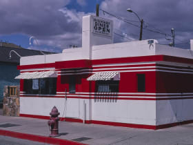
The Route 66 alignment east of Flagstaff passes through Winona (you need to know it) and ends at the famous Standin' on the Corner park in Winslow.