
Boundary Waters Canoe Area Wilderness
12477 Gunflint Trail, Grand Marais, MN
Grand Marais, MN
A vast maze of interconnected lakes and forest along the Canadian border, one of the great paddling wildernesses of North America, reachable only by canoe and portage.
The Boundary Waters Canoe Area Wilderness is a vast web of lakes, rivers, and forest sprawling across the top of Minnesota along the Canadian border, more than a million acres of protected country inside the Superior National Forest. There are hundreds of lakes linked by streams and by portages, the short overland trails where paddlers carry canoe and gear from one lake to the next. Across most of it there are no roads, no motors, and no buildings, only water, rock, and forest.
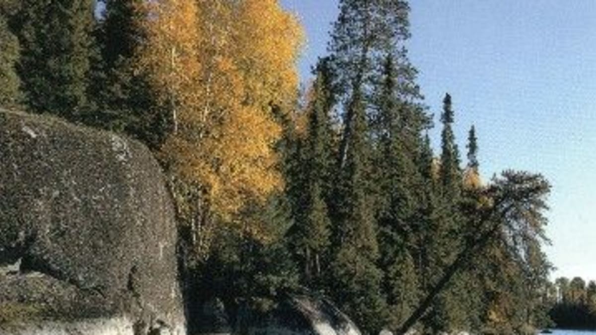
This is one of the most visited wilderness areas in the country and at the same time one of the quietest, a place people come to paddle for days without seeing a road. The lakes are cold and clear, the shores are lined with pine and granite, and the nights are dark enough for the northern lights. It is a landscape shaped by glaciers and by generations of people who have traveled its waters by canoe.
What Travelers Love
- Paddling and portaging through a maze of clear, interconnected lakes
- Nights of true dark and silence, with loon calls and northern lights
- Old pines, granite shores, and campsites reachable only by canoe
- The chance to unplug completely in one of the quietest places in the country
Worth Knowing
- This is a permitted, largely motor-free wilderness, so overnight and many day trips require a permit reserved in advance
- There is no cell service across most of the wilderness, so plan routes, weather, and safety before you go
- Practice leave no trace, pack out all trash, and store food carefully because this is black bear country
- Weather and cold water can turn dangerous fast, so watch the sky, dress in layers, and know your limits
Learn about Boundary Waters Canoe Area Wilderness
Ojibwe homeland and the fur trade
This lake country is Anishinaabe homeland, the land of the Ojibwe, who have traveled, fished, hunted, and gathered wild rice across these waters for many generations and who remain deeply connected to them today. The birchbark canoe, the portage routes, and the seasonal harvest of the lakes are woven into a way of life that long predates any map or boundary line, and the region's water routes still follow paths people have paddled for centuries.
In the seventeen and eighteen hundreds these same waterways became the highway of the North American fur trade. Voyageurs paddled great freight canoes loaded with furs and trade goods along the border lakes between Lake Superior and the far interior, and the international boundary itself was later drawn to follow this old canoe route. The Grand Portage, the long carry around the rapids of the Pigeon River, was one of the great gateways of that trade and remains a place of Ojibwe history on the Superior shore.
How the lakes were made
The bones of this country are some of the oldest rock on the continent, ancient granite and greenstone scraped bare by the glaciers that ground across it in the last ice age. As the ice advanced and retreated it gouged out basins in the hard rock and dammed the drainages with debris, and when it finally melted those basins filled with water to make the thousands of lakes you paddle today.
That glacial history is why the lakes connect the way they do, strung together across the low divides so that a paddler can travel for days by water with only short carries between them. The thin soils and exposed bedrock also shape the forest, a northern woodland of pine, spruce, fir, birch, and aspen that clings to the rocky shores and burns and regrows on a long natural cycle of fire.
Wildlife of the north woods
The Boundary Waters is home to some of the wildest creatures left in the lower states. Moose browse the shallows and wetlands, black bears range the forest, and this is core range for the gray wolf, whose howl may carry across a lake at night. Beaver, otter, and pine marten work the shorelines, and the waters hold walleye, northern pike, lake trout, and smallmouth bass.
The sound most paddlers remember is the loon, the black-and-white diving bird whose wavering call defines a northern lake at dusk. Bald eagles and ospreys fish the open water, and in the deep quiet of the wilderness the night sky opens up, dark enough that the Milky Way and, on lucky nights, the northern lights fill the sky over the water.
Season by season
Summer is the main paddling season, with long days, warm afternoons, and lakes open for travel, though it is also the busiest time and the season of biting insects, so a head net and repellent earn their place in the pack. Early summer brings blackflies and mosquitoes, which ease as the weeks go on.
Fall is many paddlers' favorite, when the air cools, the bugs fade, and the aspen and birch turn gold against the dark pines. Spring is raw and quiet as the ice goes out, and winter transforms the whole country into a silent world of snow and frozen lakes, traveled by ski, snowshoe, and dogsled rather than canoe.
Closest Boutels
The closest Boutel™ stays, so you can turn this stop into an overnight. Each is a place we chose through independent editorial review, never a paid placement.
The Cliff Dweller on Lake Superior
Honorable Mention6452 MN-61, Tofte, MN 55615, USA, Tofte, MN
41 miles away|Learn More ›
Details
Grand Marais, MN
Frequently asked questions
What is the Boundary Waters Canoe Area Wilderness?
The Boundary Waters Canoe Area Wilderness, in far northern Minnesota along the Canadian border, is one of the most beloved wilderness areas in the country, a vast expanse of interconnected lakes, rivers, and forest set aside for paddling and quiet recreation. With over a thousand pristine lakes linked by canoe routes and portages, the Boundary Waters offers world-class canoeing, camping, fishing, and a rare chance to experience true wilderness solitude amid boreal forest, wildlife, and dark night skies. Motorized use is largely prohibited, preserving its wild character. With its pristine lakes and legendary canoe country, the Boundary Waters Canoe Area Wilderness offers an unforgettable destination in northern Minnesota.
What can you do at the Boundary Waters Canoe Area Wilderness?
You can canoe and paddle among more than a thousand interconnected lakes along established routes, portage between lakes, camp at wilderness campsites, fish for walleye, bass, and trout, watch for wildlife like moose, loons, and eagles, and experience profound wilderness solitude and stargazing under dark skies. Multi-day canoe trips are the classic experience. Permits are required for overnight trips and often day use in the busy season. With its canoeing, camping, fishing, and wilderness beauty, the Boundary Waters offers an unforgettable outdoor experience in northern Minnesota for prepared paddlers.
What should I know before visiting the Boundary Waters Canoe Area Wilderness?
The Boundary Waters is true, remote wilderness with no roads, services, or cell coverage in the interior, so trips require careful planning, proper gear, canoeing and camping skill, and self-sufficiency, and permits are required for overnight trips and many day trips, so securing one in advance is essential. Weather can change fast, cold water is a real hazard, and help is far away, so wear a life jacket, tell someone your route, pack for all conditions, and follow leave-no-trace practices. Coming well-prepared, permitted, and self-reliant is vital for a safe trip into the Boundary Waters in northern Minnesota.
When is the best time to visit the Boundary Waters Canoe Area Wilderness?
Late spring through early fall is the paddling season, with summer the most popular for canoeing, camping, and fishing in mild weather, though also the busiest and buggiest, while fall brings beautiful color, fewer insects, and crisp air, a favorite for many. Late spring can still be cold with high water. Insects like mosquitoes and black flies peak in early summer. Permits are required and can be competitive in peak season, so plan ahead. For the best paddling weather aim for summer, and for color and fewer bugs, early fall, in the Boundary Waters of northern Minnesota.
What is near the Boundary Waters Canoe Area Wilderness?
The Boundary Waters Canoe Area Wilderness is in far northern Minnesota along the Canadian border, accessed from gateway towns like Ely and Grand Marais, near the Superior National Forest, the North Shore of Lake Superior with the Superior Hiking Trail, and the Soudan Underground Mine. That makes the Boundary Waters a legendary wilderness destination to combine with the North Shore, Ely, and the other attractions of northern Minnesota on a visit to the state.
Nearby
Soudan Underground Mine State Park
36 miles away
Soudan Underground Mine State Park: near Tower on the eastern Iron Range, off MN-1/MN-169 in Lake Vermilion country.
Temperance River Gorge
40 miles away
Temperance River Gorge: parking is right off Highway 61 at Schroeder, about midway between Two Harbors and Grand Marais.
Oberg Mountain
41 miles away
A short, rewarding loop on the North Shore that rings a maple-covered ridge with nine cliff-top overlooks above Lake Superior, plus views of inland Oberg Lake and the Sawtooth hills.