Sacramento River Bend Area
Bend Ferry Rd
Red Bluff, CA
Miles of open river-bluff trails on free public land, with Lassen and Shasta on the horizon and eagles overhead in winter.
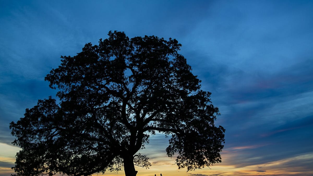
The Sacramento River Bend Area is a broad stretch of public land, thousands of acres held for everyone, wrapped around a long bend of the Sacramento River just north of Red Bluff. It is managed by the Bureau of Land Management, the federal agency that looks after much of the West's open country, and it is set aside for its natural and cultural richness. What that means for a visitor is simple: a big, quiet, sunlit landscape of grassy bluffs and scattered blue oaks above a green river, laced with trails and free to explore.
This is where the flat valley floor begins to give way to the rougher volcanic ground of the north, so the walking is open and rewarding, with the river always nearby and the snow-capped peaks of Lassen and Shasta rising far off to the east and north. In winter the bluffs and cottonwoods draw bald eagles and osprey to fish the river, and in late summer and fall the Chinook salmon push upstream, so the place changes with the seasons and gives you a reason to come back.
What Travelers Love
- Free, uncrowded public land with a real network of trails along the river
- The Iron Canyon Trail, an easy river-bluff walk with wide views of Lassen Peak and Mount Shasta
- Bald eagles and osprey in winter, plus deer, songbirds, and the fall salmon run
- A quiet, wide-open feel close to town, good for a morning hike or an evening on the water
Worth Knowing
- This is undeveloped public land, so bring plenty of drinking water, since there is none to be found on the trails
- Summers here are very hot, often over one hundred degrees, so early morning or the cool of evening is by far the best time to walk
- The trails run over open, rocky ground with little shade, so a hat, sun protection, and sturdy shoes make a real difference
- One creek-crossing trail can flood after rain, so check with the BLM Redding Field Office before a wet-weather hike
Learn about Sacramento River Bend Area
The Iron Canyon Trail and the river bluffs
The best-loved walk here is the Iron Canyon Trail, an easy few-mile loop along the bluffs above the river. It climbs gently, so it suits most walkers, and it strings together one wide overlook after another, with the river curling below and the great peaks on the skyline. On a clear day you can pick out Lassen Peak to the east and Mount Shasta far to the north, both often carrying snow, and in spring the open ground fills in with wildflowers.
The footing is rocky in places and there is little shade, which is worth planning around, but that same openness is what gives the trail its long, uncluttered views. It is the kind of hike where you stop often, not because it is hard, but because there is so much to look at. A network of other paths spreads out along both sides of the river for those who want more, reachable on foot, by bike, or on horseback.
A river alive with wildlife
The reason this land is protected is the life the river supports. In the cooler months bald eagles and osprey gather to hunt the water, and patient watchers can spot them perched in the tall cottonwoods or diving for fish. Deer move through the oaks, songbirds fill the brush in spring, and the river itself carries one of the valley's great natural events, the fall run of Chinook salmon pushing upstream to spawn in the cold, clean gravel.
Because the area is undeveloped, the wildlife has room and quiet, and a visitor who comes early and moves slowly is rewarded for it. Bring binoculars if you have them. A winter morning here, with eagles overhead and mist rising off the water, is the kind of scene people drive a long way to find and rarely expect so close to a valley town.
On the water
The Sacramento River is the spine of this place, and getting onto it is part of the appeal. A simple, primitive launch off Bend Ferry Road, at a spot long known as Jelly's Ferry, lets paddlers and small boats slip onto a broad, steady stretch of river. A float down this reach is calm and scenic, sliding past the same bluffs the trails climb, with herons on the banks and the mountains ahead.
For anglers, late summer through mid-October is prime time for Chinook salmon, one of the runs that make the upper Sacramento a name among fishermen. Whether you paddle, fish, or simply sit on the bank and watch the current, the river gives the whole area its rhythm and its reason for being.
Visiting the Sacramento River Bend Area
Reaching the area is easy. From Interstate 5 just north of Red Bluff, take the Jelly's Ferry exit, head east, then turn onto Bend Ferry Road and follow it to the river, where the recreation sites and trailheads are. It is only a short drive from town, but it feels a world away once you are out on the open bluffs.
Come prepared, because this is wild public land with no services. There is no drinking water anywhere on the trails, so carry plenty, and the valley heat is serious in summer, often past one hundred degrees, which makes an early start or an evening walk the smart choice. Wear a hat and good shoes for the rocky, sunny ground, and if rain has come through, check with the BLM Redding Field Office before attempting the creek-crossing trails, since one of them can flood. Plan around the weather and this becomes one of the finest free half-days anywhere near Red Bluff.
Closest Boutels
The closest Boutel™ stays, so you can turn this stop into an overnight. Each is a place we chose through independent editorial review, never a paid placement.
Details
Red Bluff, CA
Frequently asked questions
What is the Sacramento River Bend Area?
The Sacramento River Bend Area, near Red Bluff in Northern California, is a scenic natural area managed for recreation and conservation along a beautiful stretch of the Sacramento River. Encompassing oak woodlands, grasslands, and riverfront, it offers miles of trails for hiking, mountain biking, and horseback riding, along with fishing, wildlife viewing, and river access. Known for its wildflowers in spring and its populations of wintering bald eagles and other birds, the area provides a peaceful, uncrowded outdoor escape. With its river scenery, trails, and abundant wildlife, the Sacramento River Bend Area is a rewarding destination for nature lovers in the northern Sacramento Valley.
What can you do at the Sacramento River Bend Area?
You can hike, mountain bike, or ride horseback on the network of trails through oak woodlands and along the river, fish and access the Sacramento River, watch for wildlife including wintering bald eagles, deer, and abundant birds, enjoy spring wildflowers, and camp at nearby sites. The scenic river and open landscape offer peaceful recreation. Birdwatching, especially for eagles in winter, is a highlight. With its trails, river access, wildlife viewing, and wildflowers in a beautiful natural setting, the Sacramento River Bend Area offers a rewarding and uncrowded outdoor experience near Red Bluff.
What safety tips apply at the Sacramento River Bend Area?
On the trails, wear good shoes, carry water, use sun protection since much of the area is exposed oak woodland and grassland, and watch for poison oak and, in warm weather, rattlesnakes. Summer heat can be intense in the northern Sacramento Valley, so hike in cooler hours and stay hydrated. Near the river, be cautious of currents and cold water. Be mindful of wildfire risk in dry seasons. Being prepared for sun and heat, watching for natural hazards, and taking care near the river keeps a visit safe and enjoyable.
When is the best time to visit the Sacramento River Bend Area?
Fall through spring offers the most pleasant conditions, with winter excellent for viewing wintering bald eagles and other birds, spring bringing wildflowers and green scenery, and fall pleasant and mild, while summer is very hot in the valley, so early morning outings with plenty of water are best then. For birdwatching, especially eagles, aim for winter, and for wildflowers, spring is ideal. The cooler months from fall through spring provide the best combination of comfortable weather and wildlife viewing at this scenic river area near Red Bluff.
What is near the Sacramento River Bend Area?
The area is near Red Bluff in the northern Sacramento Valley, close to the William B. Ide Adobe State Historic Park, the Sacramento River, and within reach of Redding with its Sundial Bridge to the north, Lassen Volcanic National Park to the east, and the Shasta Cascade region's natural attractions. That makes the Sacramento River Bend Area a peaceful natural stop to combine with the William B. Ide Adobe, Redding's attractions, and the wider scenery of Northern California's Shasta Cascade region on a visit to the area.
Nearby
William B. Ide Adobe State Historic Park
5.5 miles away
An 1850s adobe home and a re-created pioneer homestead on a shaded bank of the Sacramento River, one of the oldest buildings in the northern valley.

Sundial Bridge
24 miles away
A soaring white pylon holds up a glass-decked pedestrian bridge over the Sacramento River in Redding, designed by architect Santiago Calatrava and doubling as one of the largest working sundials in th...

Lassen Volcanic National Park
37 miles away
Bubbling mudpots and steaming fumaroles around the largest plug dome volcano on Earth.

Manzanita Lake
38 miles away
Manzanita Lake sits at the northwest corner of the park, its calm water mirroring the snow-streaked cone of Lassen Peak.